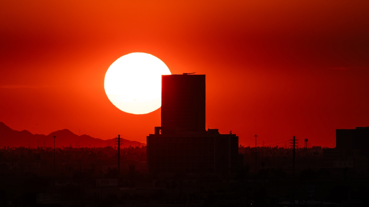
Hot under the collar? Blame it on El Niño
2015 was the warmest year on record, and ASU's weather expert says 2016 will be hotter — but there's a silver lining

Scientists reported Wednesday that 2015 was by far the warmest year on record, breaking a record that was set the year before, which has some wondering whether global warming is taking root.
ASU climatologist Randy CervenyCerveny is a President's Professor in ASU's School of Geographical Sciences and Urban Planning, which is an academic unit of the College of Liberal Arts and Sciences., however, identified another culprit.
Question: Were you surprised that 2015 is the hottest year on record?
Answer: No. The primary reason for that warming is what we call is El Niño, a major warming on the Pacific Ocean. This El Niño is unprecedented in the last 50 years. The fact we are seeing such a warming globally is primarily attributable to the massive warming we are having in the Pacific Ocean.
The fact that we have had very warm temperatures over the past 20 years, particularly — we have had global warming happening at an accelerated rate — will make this more noticeable. But the primary cause is the warming we have in the Pacific Ocean.
Q: What is El Niño?
A: El Niño is a periodic variation of sea surface temperatures. Normally the Eastern Pacific is cold and the Western Pacific is warm. About every five to seven years there is a surge back from the West to the East of warm water, and it comes along the coast of South America. When it happens we get this change in the storm track and the weather patterns, and it is something that pretty much affects the entire world.

NASA ocean surface topography comparing the 1997-1998 vs. 2015-2016 El Niño events. Image by NASA/JPL-Caltech
Q: Will 2016 be hotter than 2015?
A: Yes, 2016 will be an incredibly hot year. The primary reason for that is because we still have El Niño going on. El Niño is a massive warming that began last June and will go on until April or early May of this year; consequently the temperatures we will have globally this year will be marked by that massive warming in the Pacific Ocean.
Q: What will we see as a result?
A: The primary thing that El Niño is associated with is precipitation in the South and Southwestern parts of the U.S. Our forecast for the next few months here in the Southwest is we are going to have many more rains and we will start to fill up some of the reservoirs that have been emptied over the last few years. This is the perfect kind of rains to break droughts.
The full interview with Randy Cerveny is available here.
More Environment and sustainability

ASU scientist studies how bans, regulations on food technology affect consumer acceptance, perceptions
How do people process scientific developments with outside influences, warnings, biases and others’ opinions filtering in? That’s the question Caitlin Drummond Otten, environmental social scientist…
ASU team's research leads to new law protecting mobile-home dwellers
Arizona Gov. Katie Hobbs signed a law earlier this month that guarantees mobile-home owners’ right to install cooling measures, thanks in large part to the work of an Arizona State University team.…
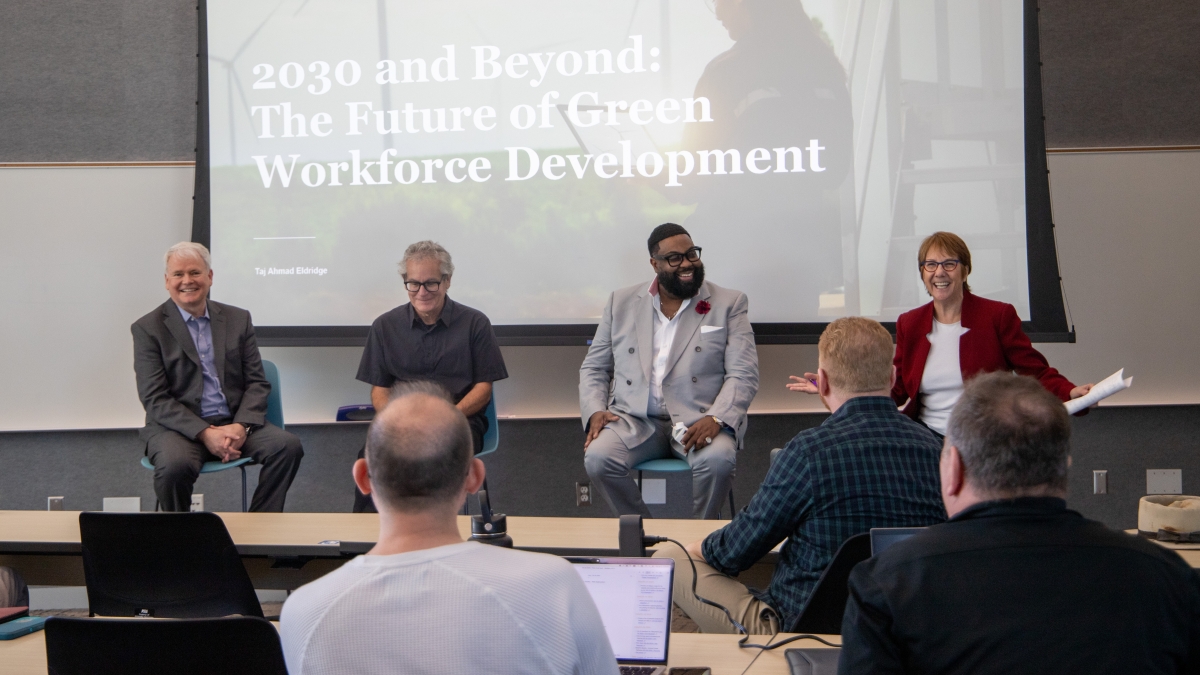
ASU event discusses hopeful future for a decarbonized economy
The economic landscape and jobs market are changing faster than ever, with cutting-edge technologies, workplace adaptations and evolving industries driving the need for transformation across the…