Grant to help ASU researchers improve soil moisture measurements
Fresh produce at the supermarket, running water and the daily weather forecast are everyday conveniences that rely on soil moisture measurements.
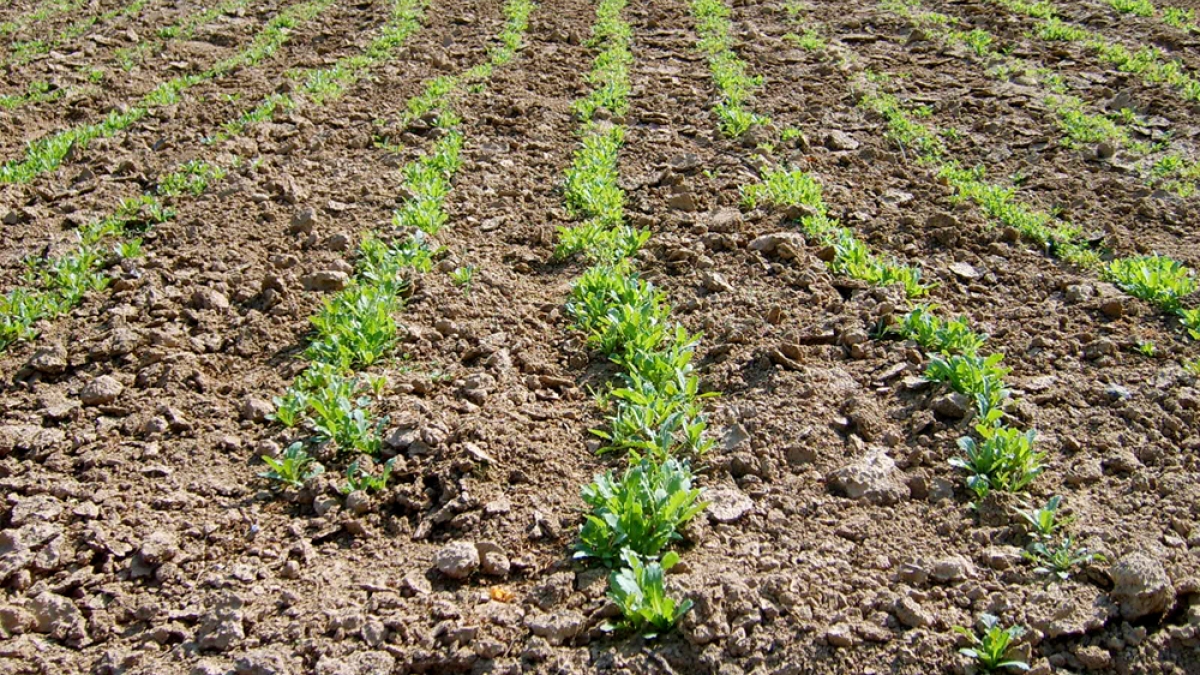
Soil moisture, a term not heard in everyday conversation, is the water found in the top soil layers in the ground. This water is a key component of the hydrological cycle, the Earth’s system of moving water from the oceans to the atmosphere to the ground and back again.
Until now, the accuracy and applicability of soil moisture measurements obtained from space has been limited. However, an Arizona State University research team is working to change that.
Led by Enrique Vivoni, the team recently received a $220,000 NASA grant for the development of a way to increase the utility of satellite-based soil moisture measurements.
Vivoni is a professor in ASU’s School of Earth and Space Exploration in the College of Liberal Arts and Sciences and in the School of Sustainable Engineering and the Built Environment, one of ASU’s Ira A. Fulton Schools of Engineering.
The other team member is research engineer Giuseppe Mascaro, in ASU’s School of Sustainable Engineering and the Built Environment in the Ira A. Fulton Schools of Engineering.
“Soil moisture is the most important variable in the hydrological cycle of the land surface,” Vivoni said. “We’re talking about the water that can be used by plants and the water that’s in direct contact with the atmosphere.”
Who it affects
Before water makes its way into streams, lakes or reservoirs it exists as soil moisture.
Because soil moisture directly impacts the amount of water that is available in a particular region, water managers rely on soil moisture data to determine how much water can be released to cities and agricultural areas.
Eric Kamienski, a water resources manager in Tempe, Ariz., said water managers spend much of their time collecting data and monitoring the amount of water that is available to their area.
In years of drought, water managers need to know how severe the drought is and be able to predict how long it will persist. This information is partly based on soil moisture data, Kamienski said.
“The amount of water in storage determines how they allocate water,” he said. “When there are years with prolonged drought and you see reservoir levels fall, water managers have to take immediate action.”
The data also help scientists make weather and climate predictions.
“The amount of soil water in the landscape has a big effect on atmospheric conditions,” Vivoni said.
The dryness or wetness of an area impacts the amount of rainfall the area is likely to experience.
If an area is dry and has little soil moisture, there is little water that can be evaporated and recycled back as rainwater. This feedback loop helps scientists predict if a dry spell in that area is likely to continue.
Similarly, an area with large amounts of soil moisture is likely to flood when it rains. If government agencies know that an area is prone to flooding, they can ensure that appropriate emergency response measures are in place, Vivoni said.
Current measurements
Over the last ten years, a sensor aboard the NASA satellite Aqua collected soil moisture data by recording microwave emissions from the land surface. This sensor reported a failure and stopped working in October.
The instrument collected data at resolutions of about 25 square kilometers (about 10 square miles) per sample, Vivoni said. The data are too coarse to be useful for people like farmers or reservoir operators who manage plots of land that can be less than half a mile across, he said.
“Twenty-five kilometers is larger than Tempe. This means that there is a single soil moisture value for the entire city. That’s a big limitation,” he said.
The project
A new sensor, which is set to launch in November 2014 aboard the Soil Moisture Active Passive satellite, will provide data representing 10 square kilometers (4 square miles). But Vivoni and Mascaro want to refine even those results.
Vivoni and Mascaro developed and are testing a mathematical model that can provide detailed information on soil moisture data based on the less detailed satellite data.
Mascaro explained that the model will take the satellite’s data point representing 10 square kilometers and simulate the statistical variability of soil moisture values for each square kilometer within the larger area. This means that the model will be able to provide information on the soil moisture values for each square kilometer based off of the satellite’s coarser data. One square kilometer is about 0.4 square miles.
“Imagine having this bird’s eye view of soil moisture over the entire country,” Vivoni said. “It would give us an idea of how weather systems impact soil moisture and how our actions affect the landscape’s soil moisture.”
Vivoni and Mascaro proposed to include the model in the satellite’s computer system. This way the onboard calculations would be available to all scientists who use NASA data, not just to the team.
With this data available to others, Kamienski said he believes the project will benefit water managers and those whom they service.
“This is one more tool that they could use to determine overall watershed conditions,” he said. “It will help them know what the next season may look like so they can start planning reservoir operations accordingly.”
Story written by Kristen Hwang